
FJD AL02/AL02 Max 3D Land Leveling System
Get a QuoteSmart Implement Control
FJD AL02/AL02 Max 3D Land Leveling System
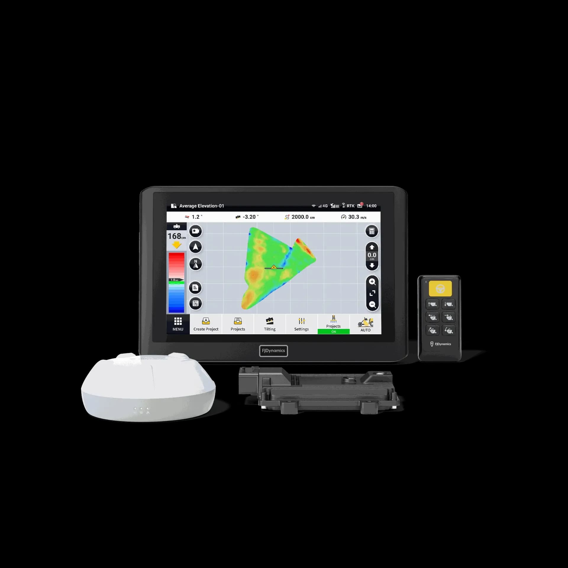
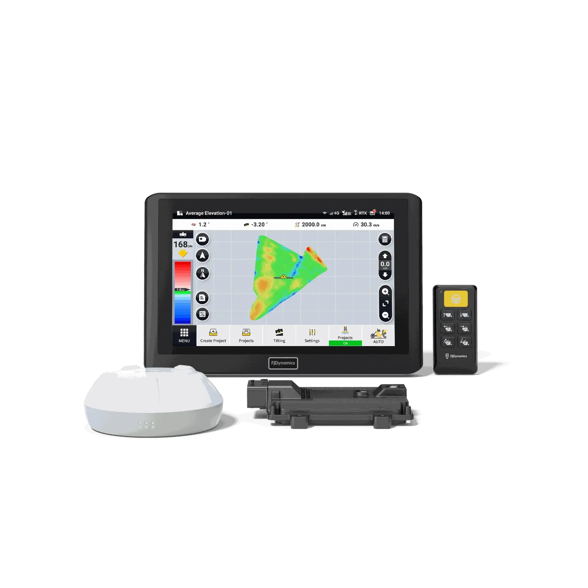
GNSS 3D leveling with automatic blade control, from survey to report.
- water saving
- 22%
- work efficiency boost
- 40%
- lower fuel consumption
- 10%
- design modes: level, single, double slope
- 3
FJ Dynamics
Gallery, options, and pricing
Talk to a real operator: 1300 916 075
In depth
Engineered for the long day
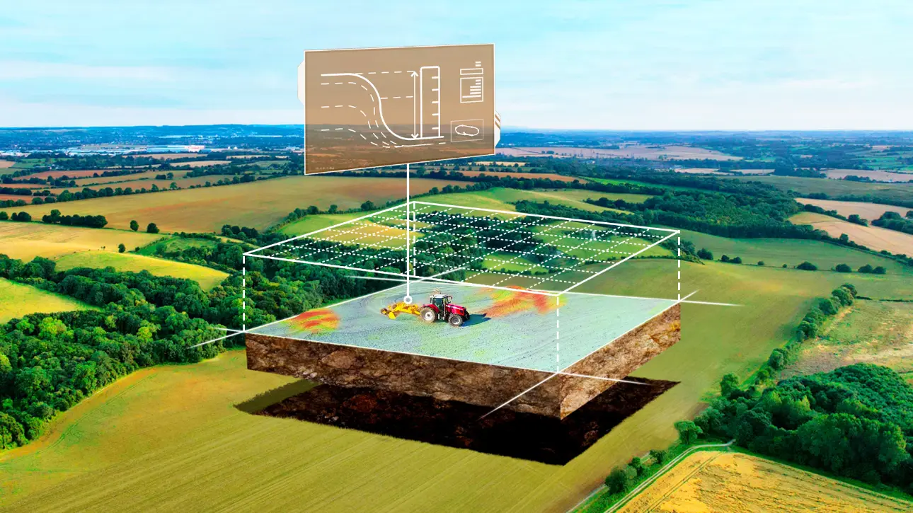
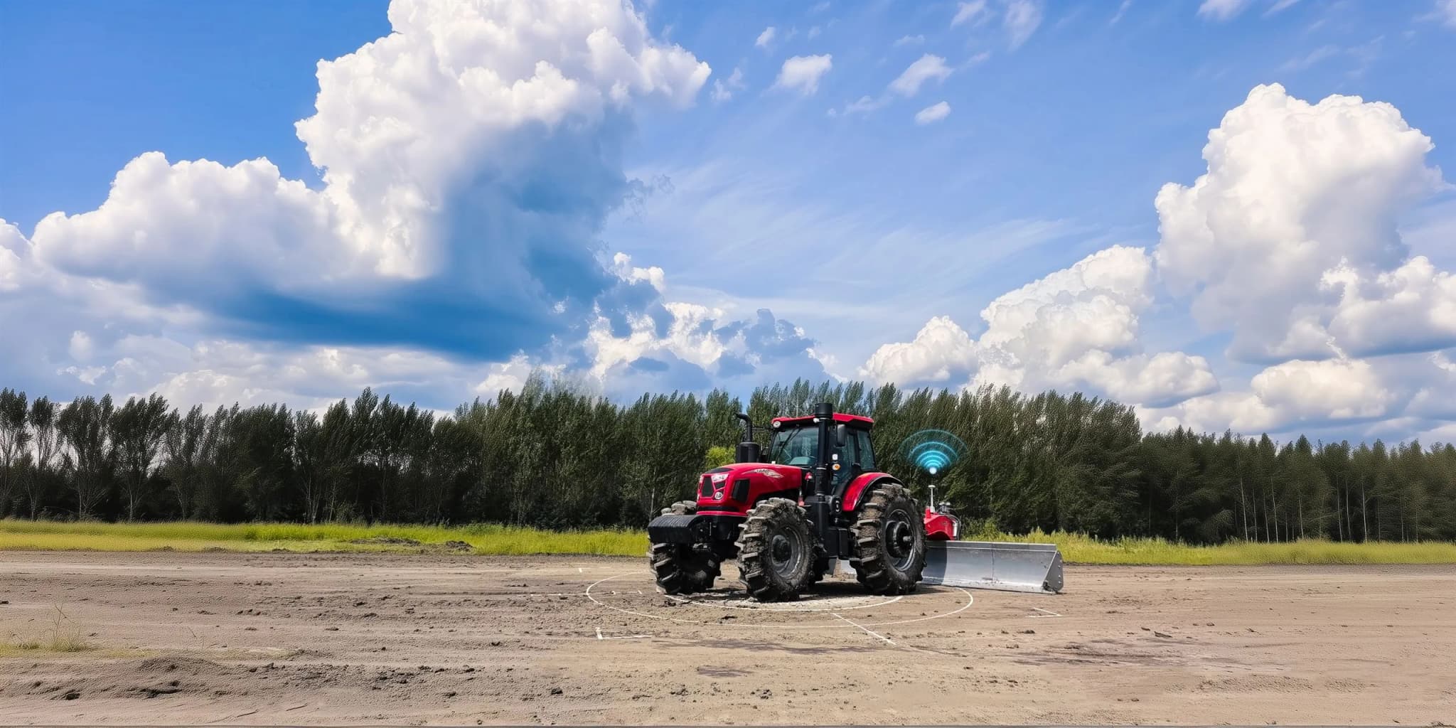
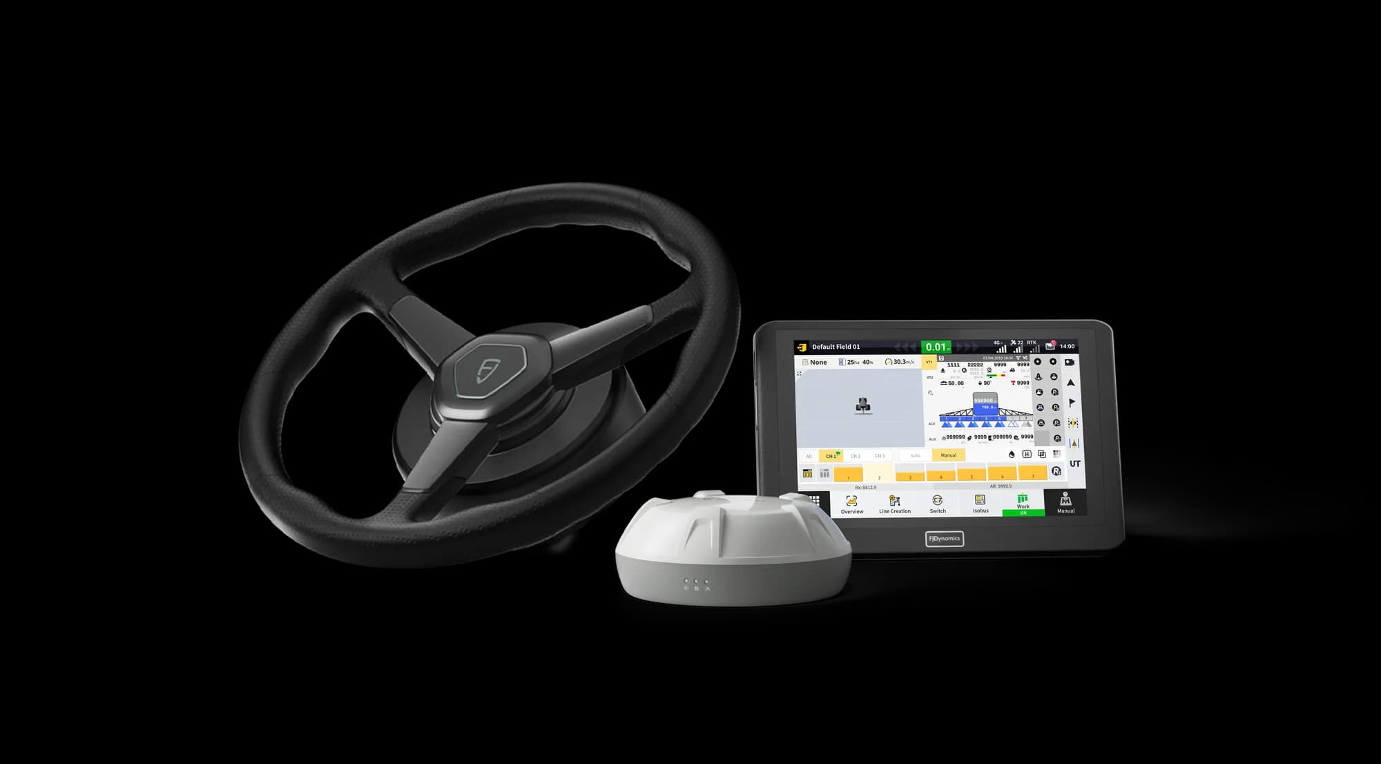
Level every inch, save every drop. The FJD AL02 is FJDynamics' second-generation GNSS 3D land leveling system, supporting terrain surveying and minimal earth-moving designs for level or sloped surfaces. High-precision GNSS positioning and advanced algorithms drive the blade automatically for precise, stable leveling, whether you're an everyday farmer or a water management contractor.
Key benefits
| Water saving | 22% up |
| Fuel consumption | 10% down |
| Work efficiency | 40% boost |
Managing water through precise system control and minimising earthwork brings land to optimal condition, improving crop growth and survival rates, preventing soil erosion, and cutting pesticide and fertiliser costs.
All-round compatibility
Surveying and design files can be imported and exported freely, so you can use the most suitable equipment at every stage of the operation.

Multi-machine collaboration
Run many AL02-equipped tractors on the same job by transferring project files between them, greatly enhancing collaboration efficiency on big earthworks.
Various design options
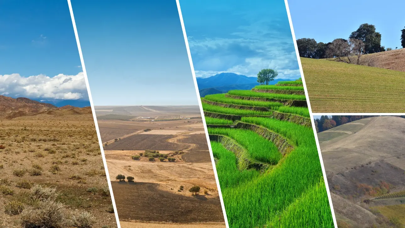
Advanced design modes cover level ground, single-sloped surfaces, and double-sloped surfaces, matched to your actual terrain and water flow requirements.
Record keeping
Completed leveling projects save automatically to project management. Review project history any time and generate PDF project reports for printing, analysis, and client records.
AL02 vs AL02 Max
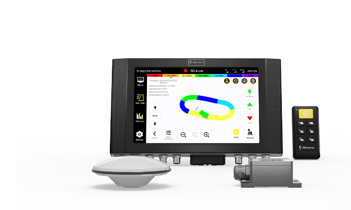
| FJD AL02 | Second-generation GNSS land leveling with automatic blade control |
| FJD AL02 Max | Adds dual-RTK control (dual antennas with independent left/right blade control) and a large monitor upgrade |
At a glance
| Positioning | High-precision GNSS/RTK with automatic blade control |
| Design modes | Level ground, single slope, double slope |
| Collaboration | Project file transfer between machines, multi-tractor coordination |
| Features | Terrain digitalisation, survey and design, height calibration, PDF reporting |
You may also like
FJD ATS Ultra PWM Spray Tip Control System
FJD ATS Precision Spray Autosteering System
FJD AL01 3D Land Leveling System
FJD APS Precision Seeding Control Kit
FJ Dynamics at AGX
Spec the right kit for your operation
Pricing depends on your machinery, base station setup, and accessories. Tell us what you run and we'll quote the full package, installed and supported in Australia.