
FJD AL01 3D Land Leveling System
Get a QuoteSmart Implement Control
FJD AL01 3D Land Leveling System
GNSS 3D leveling with 2.5 cm accuracy, no laser setup required.
- GNSS/RTK accuracy
- 2.5cm
- efficiency gain over laser leveling
- 40%
- water saving
- 22%
- lower fuel consumption
- 10%
FJ Dynamics
Gallery, options, and pricing
Talk to a real operator: 1300 916 075
In depth
Engineered for the long day
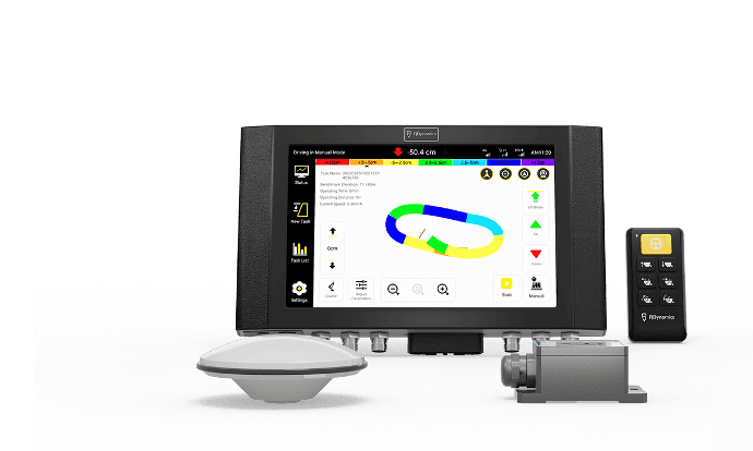
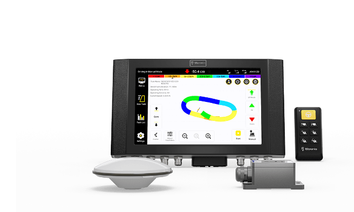
Leveling for the next-level yield. The FJD AL01 is the first-generation GNSS 3D land leveling system, using GNSS and RTK high-precision positioning for farmland leveling and terrain planning. Precise terrain survey and design deliver a smooth, uniform surface that substantially improves water management and crop production.
The AL01 has been discontinued by FJDynamics and is no longer available new. We can still support existing systems; for new installs see the second-generation FJD AL02/AL02 Max.
GNSS-based, not laser-based
Say goodbye to the laser system's troublesome setup, limited signal coverage, and weather sensitivity. The AL01 achieves 2.5 cm accuracy, lifts efficiency by 40%, and covers a larger area than laser leveling under the same conditions.
Streamlined project design
Advanced mode runs a single three-step workflow: set the master and secondary benchmarks, draw the field boundary and collect interior points, then complete the design surface through parameter settings.
Terrain survey and design
Elevation data is collected through boundary mapping and interior point collection, largely eliminating environmental interference. Design tools include fill-and-excavation and earthwork movement analytics, slope design to trim terrain angles, and water flow direction settings for better water management.
Record reserve
Completed leveling tasks save automatically to the task list, so you can revisit historical records and reuse saved tasks instead of re-surveying.
Application scenarios
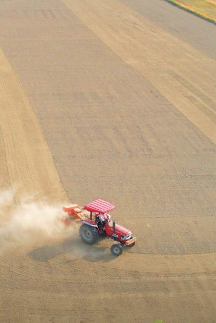
Reclaim wasteland, consolidate and level fields, convert slopes into terraces, and optimise water usage in rice paddies.
Proven results
| Work efficiency | 40% up |
| Fuel consumption | 10% down |
| Water consumption | 22% down |
Specifications
| Accuracy | 2.5 cm (GNSS/RTK) |
| Control terminal | 10.1-inch 1280x800, 300x190x43 mm, Android, 10-30 V, IP65 |
| GNSS antenna | GPS L1/L2, GLONASS L1/L2, BDS B1/B2/B3; IP67 |
| Handheld keypad | 9-36 V, over 1 million click life, IP67 |
| IMU | 0.3 degree static accuracy |
| Radio | 433/470 MHz, up to 100 W |
You may also like
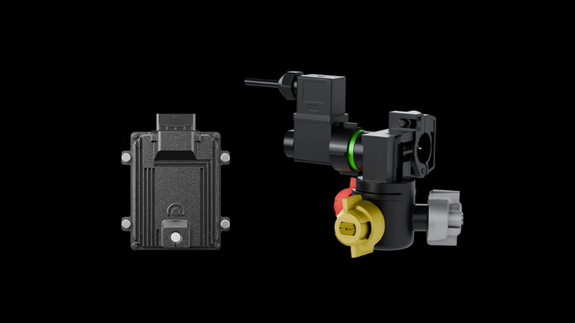
FJD ATS Ultra PWM Spray Tip Control System
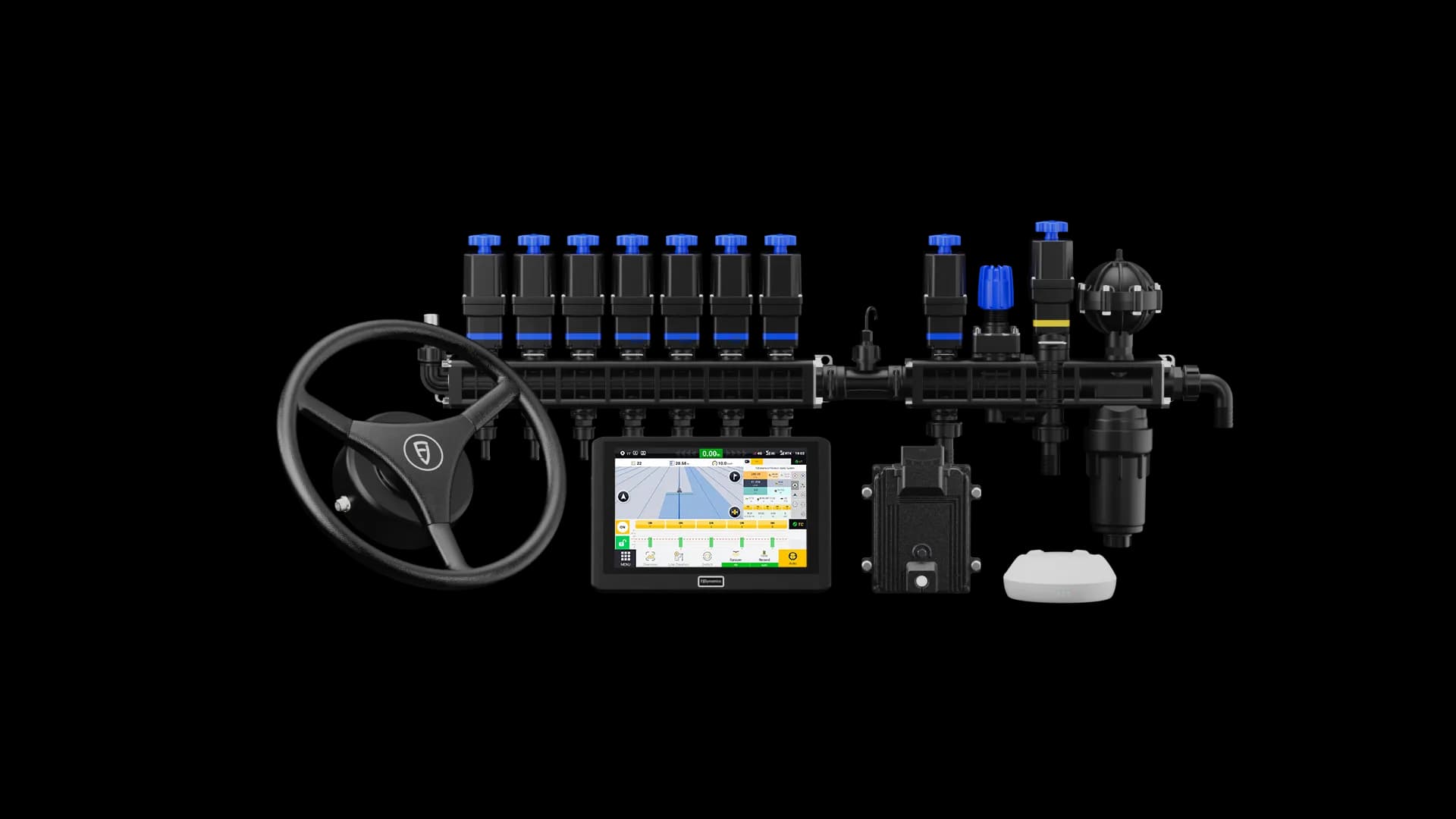
FJD ATS Precision Spray Autosteering System
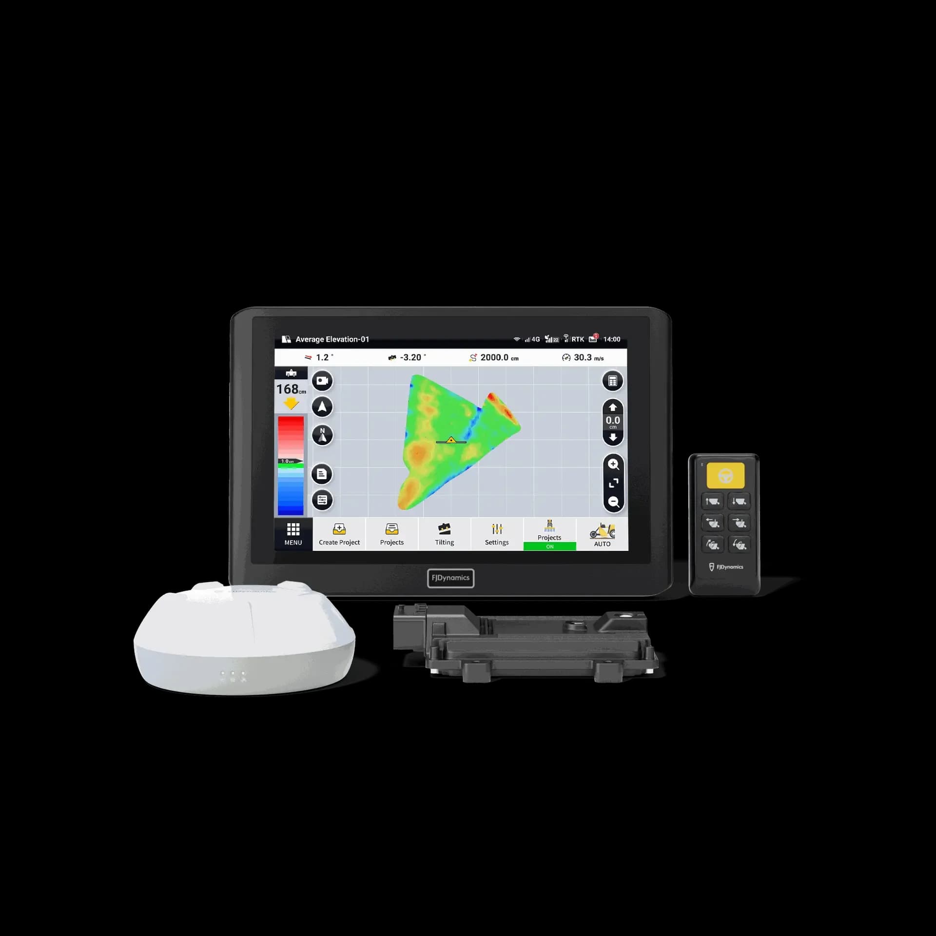
FJD AL02/AL02 Max 3D Land Leveling System
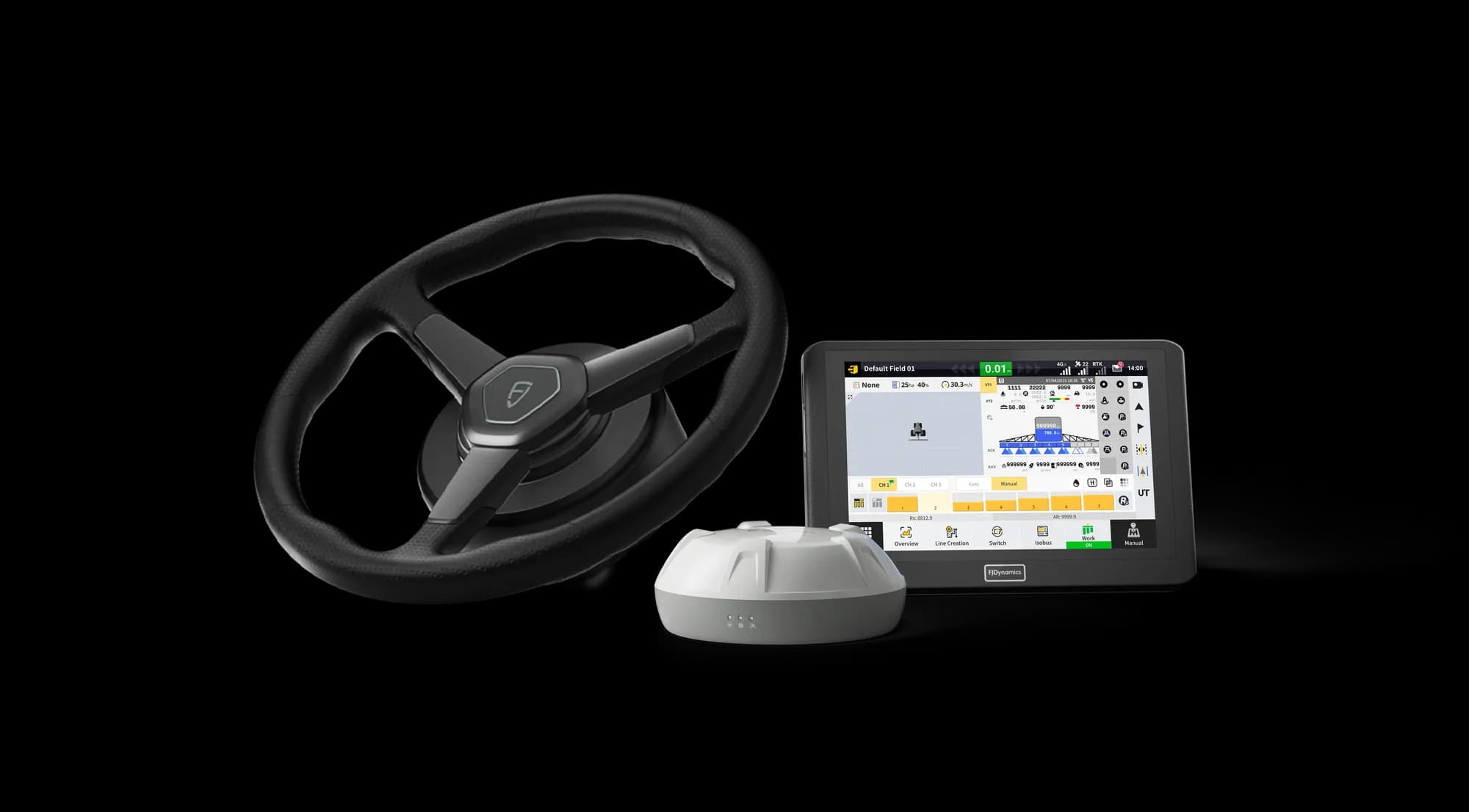
FJD APS Precision Seeding Control Kit
FJ Dynamics at AGX
Spec the right kit for your operation
Pricing depends on your machinery, base station setup, and accessories. Tell us what you run and we'll quote the full package, installed and supported in Australia.